Agricultural Land in Mammola (RC)
Mammola (RC)
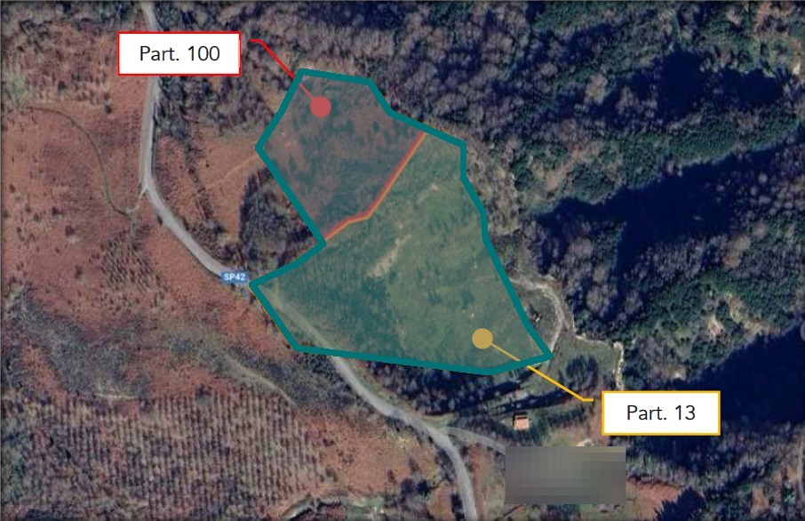
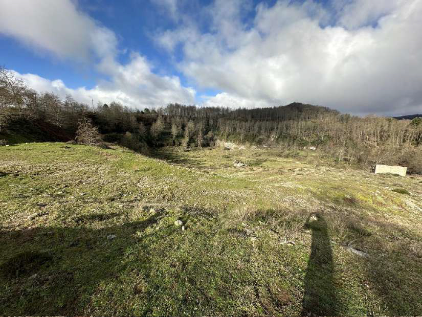
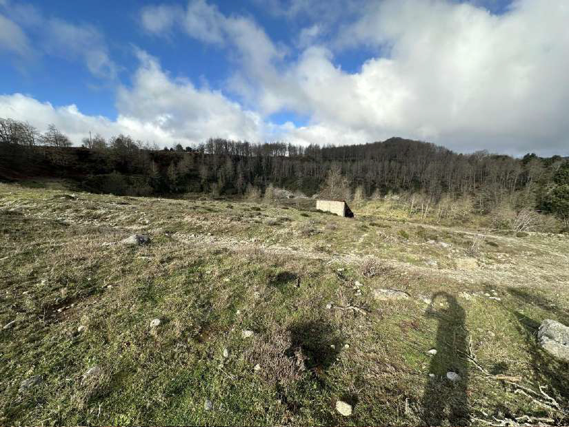
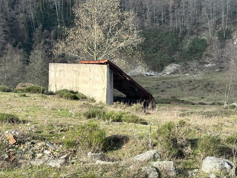
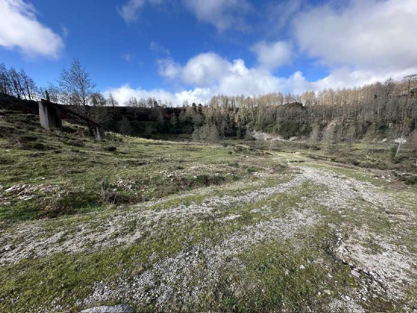
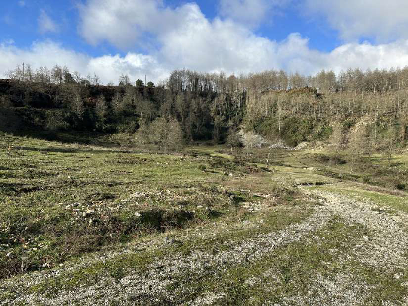
Agricultural land in Mammola (RC), Limina locality.
FOR AUCTION agricultural land in the Municipality of Mammola (RC) in Limina locality.
They have a total area of 49,040.00 sqm.
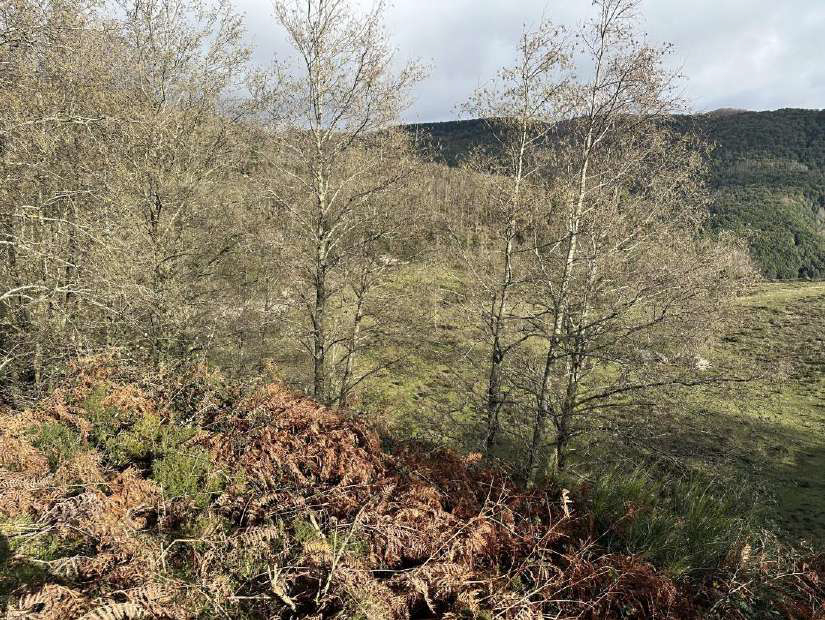
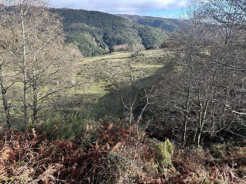
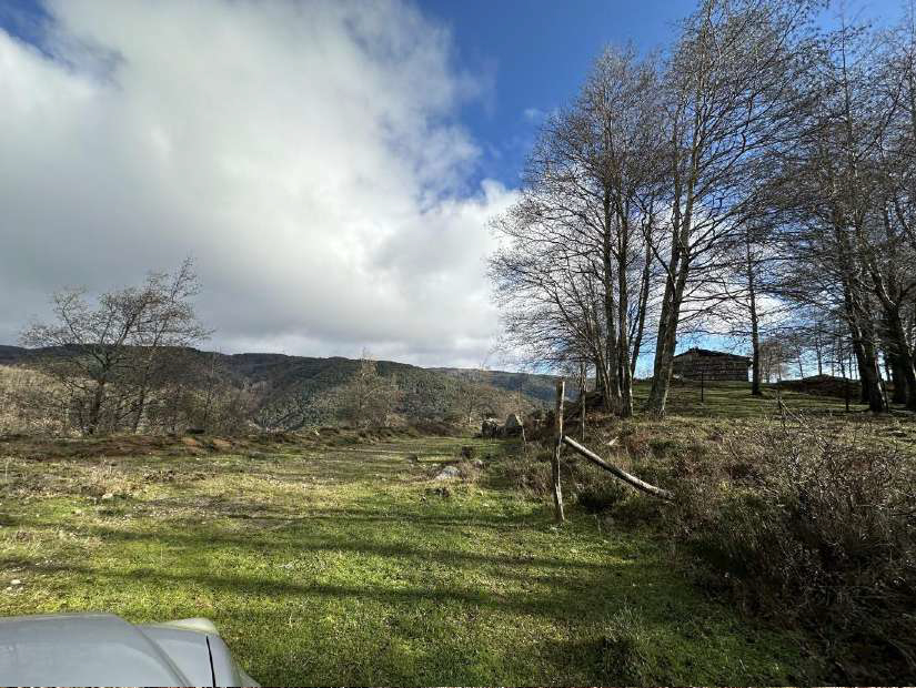
The first plot of land is polygonal in shape, flat and with a sloping trend, with a cadastral area of about 14,630.00 sqm, and is occupied by shrub vegetation.
It falls within the "E - Agricultural" zone and is subject to the following constraints:
- Landscape - environmental "Areas protected by law", pursuant to art. 142, paragraph 1 letter C of Legislative Decree 42/04; DM 27.06.1985;
- Hydrogeological constraint - pursuant to Royal Decree no. 3267/1923 of 30/12/1923 "Reorganization and reform of legislation on forests and mountain lands"
The second plot of land is polygonal in shape, has a sloping trend, with a cadastral area of about 34,410.00 sqm, is uncultivated and occupied by shrub vegetation. Part of the area is occupied by the roadway of Provincial Road 42.
It falls within the "E - Agricultural" zone and is subject to the following constraints:
- Landscape - environmental "Areas protected by law", pursuant to art. 142, paragraph 1 letter C of Legislative Decree 42/04; DM 27.06.1985;
- Hydrogeological constraint - pursuant to Royal Decree no. 3267/1923 of 30/12/1923 "Reorganization and reform of legislation on forests and mountain lands";
- Partly included among the areas of attention PGRA "safeguard measures prepared in implementation of the updates of the PAI referred to in Cip resolution no. 1 of 20/12/2019" PGRA 2021.
Land Registry of the Municipality of Mammola:
Sheet 4 - Parcel 100 - Quality Seed - Class 3
Sheet 11 - Parcel 13 - Quality Grazing Shrub - Class 1
For further information, please consult the appraisal and the attached documentation.
 Italiano
 English
 Français
 Español
 Euskara
 Català
 Deutsch
 Nederlands
 Português
 Shqiptare
 Български
 Čeština
 Ελληνικά
 Hrvatski
 Magyar
 Македонски
 Polski
 Română
 Српски
 Slovenský
 Slovenščina
 Türkçe
 Русский
 Dansk
Dansk Suomalainen
 Íslenskur
 Norsk
Norsk Svenska
 Lombard
 Marchigiano
 Pugliese
 Romano
 Siciliano
 Toscano
 Veneto