 Italiano
 English
 Français
 Español
 Euskara
 Català
 Deutsch
 Nederlands
 Português
 Shqiptare
 Български
 Čeština
 Ελληνικά
 Hrvatski
 Magyar
 Македонски
 Polski
 Română
 Српски
 Slovenský
 Slovenščina
 Türkçe
 Русский
 Dansk
Dansk Suomalainen
 Íslenskur
 Norsk
Norsk Svenska
 Lombard
 Marchigiano
 Pugliese
 Romano
 Siciliano
 Toscano
 Veneto


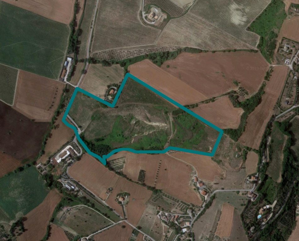
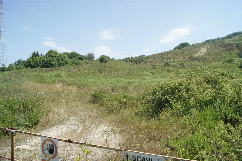
Land in Fermo, Locality Capodarco - LOT 1
Auction Based on Received Offer
The lands are registered in the Land Registry of the Municipality of Fermo on Sheet 12:
Parcels 87 - 88 - 89 - 181 - 183 - 185
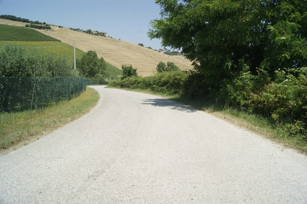
Lands located in a hilly area about two kilometers in a straight line from the coast.
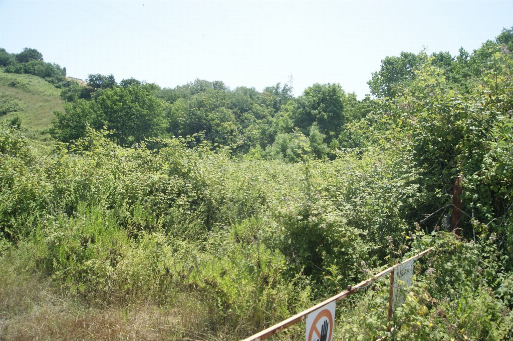
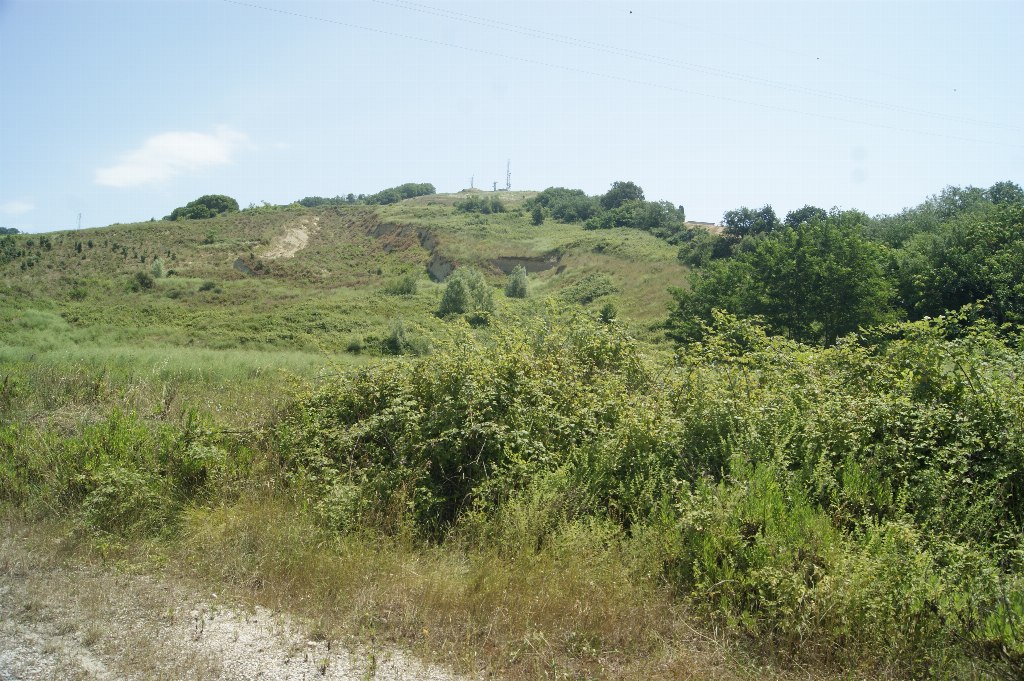
They were used as a clay quarry and cover a cadastral area of 119,110 sqm, divided into six parcels.
The slope is inclined with average gradients of 20-22%, generally facing northwest.
The lands are crossed by a high-voltage overhead line.
The area falls within agricultural territory "Agricultural areas of significant territorial value and agrarian landscape of historical-environmental interest", governed by art. 56 of the Technical Implementation Rules of the General Regulatory Plan of the Municipality of Fermo.
The lands are also subject to various other protection areas and constraints, affecting all or part of the individual parcels, including:
- protection area of the slopes, art. 30 of the NTA of the PRG
- areas with high botanical-vegetational quality, art. 56 of the NTA of the PRG
- integral protection of watercourses, art. 28 of the NTA
- landslides R1/PI and RI/P2
- scattered buildings for productive activities (limited portion)
- areas ex law 431/85 (D. Lgs. 42/04, landscape assets).
For further information, please consult the appraisal and the attached documentation.
Area: 119.110 sqm